
A Wonderful Panchase Hill Trekking Experience
I had an amazing experience trekking to Panchase Hill in Nepal. Traveling alone from France, I felt
Continue Reading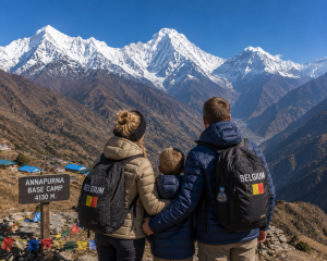
An Unforgettable Family Adventure in Nepal
Our trip to Nepal was an incredible experience for our family. Traveling with our son and enjoying t
Continue Reading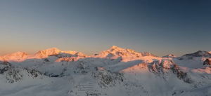
Ghandruk Village – A Beautiful Himalayan Experience
Visiting Ghandruk was a wonderful experience. The traditional stone houses, beautiful mountain scene
Continue Reading
From the Himalayas to the Jungle: An Unforgettable Nepal Adventure
My trip to Nepal was an unforgettable experience. The Poon Hill Trek was absolutely amazing, with be
Continue Reading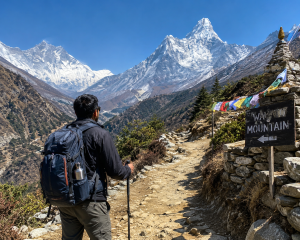
Best Trekking Experience in Nepal – Highly Recommended!
We had an amazing trekking experience in Nepal with Budget Trekking in Nepal! My girlfriend and I ca
Continue Reading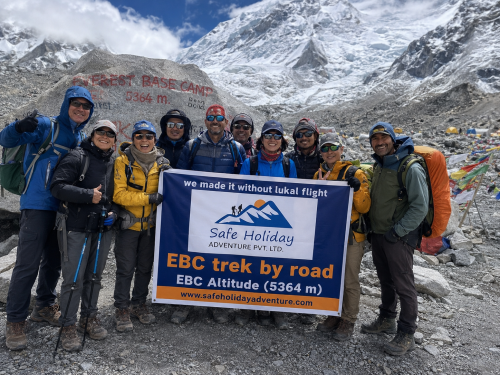
Why Is the Everest Base Camp Trek So Famous?
Standing at the foot of the world’s highest mountain is a dream shared by millions of adventure lo
Continue Reading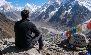
Yoga, Meditation & Trekking in the Himalayas
My wife and I traveled from Italy for the Everest Base Camp Yoga & Meditation Trek, and it was a
Continue Reading
A Night in a Tent at Everest Base Camp
Sleeping in a tent at Everest Base Camp was one of the most unforgettable experiences of my life. Wa
Continue Reading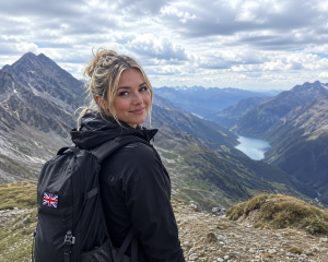
A Journey to Everest Base Camp and Island Peak
My friend from the UK and I had an incredible experience on the Island Peak & Everest Base Camp
Continue Reading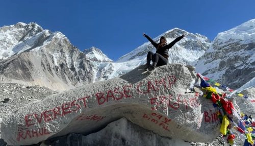
Everest Base Camp Trek Mistakes: 15 Lessons From a Local Guide
Introduction Every trekking season, thousands of travelers arrive in Nepal with the dream of reachin
Continue Reading
An Amazing Luxury Everest Base Camp Trek Experience
My name is Dani Chong, and I am from Singapore. I recently completed the Luxury Everest Base Camp Tr
Continue Reading
Wonderful Everest Base Camp Adventure
My name is Oliver Brown, and I traveled from the United Kingdom to experience the Everest Base Camp
Continue Reading
An Unforgettable EBC Trek Experience
I am James Wilson from Australia, and I trekked to Everest Base Camp with my family. The experience
Continue Reading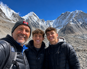
Experience the EBC Trek Without the Lukla Flight
My name is Erick Mollel, and I completed the Everest Base Camp Trek with my two sons from Canada. It
Continue Reading
Crossing Nepal’s Highest Trekking Passes: The Ultimate Himalayan Adventure
Introduction Nepal is home to some of the world’s highest mountains, deepest valleys, and most
Continue Reading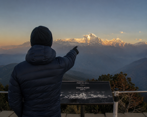
Wonderful Annapurna Sunrise Trek with Safe Holiday Adventure
We completed the 10-day Annapurna Sunrise Trek (Poon Hill Trek) in Nepal from October 15–25, 2025,
Continue Reading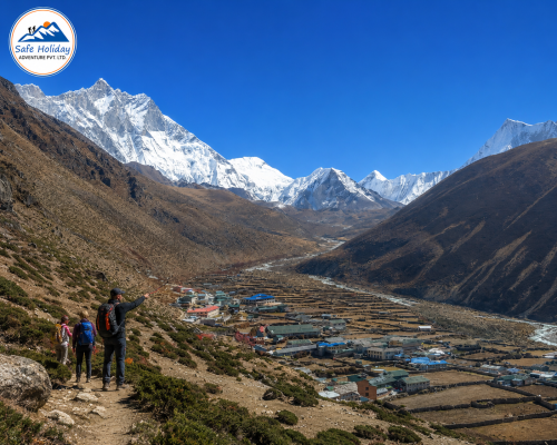
Why Stay Two Nights in Namche Bazaar and Dingboche?
Introduction Every successful Everest Base Camp Trek depends on more than physical fitness. One of t
Continue Reading
Can You Drive All the Way to Everest Base Camp?
“Can you drive all the way to Everest Base Camp?” is one of the most common questions asked by t
Continue Reading
Tilicho Lake & Thorong La Pass Trek – An Unforgettable Himalayan Adventure
In October 2025, my friend Rupesh and I completed the incredible Tilicho Lake and Thorong La Pass Tr
Continue Reading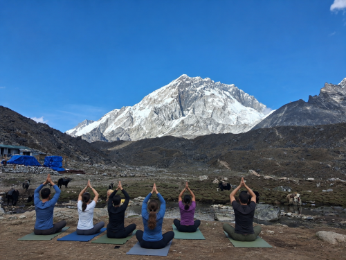
Everest Base Camp Yoga & Meditation Trek
Discover the perfect balance of adventure and wellness with our Everest Base Camp Yoga & Meditat
Continue Reading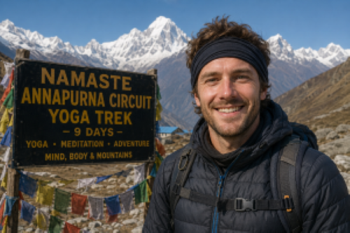
An Unforgettable Annapurna Circuit Yoga Trek Experience
Our 9-Day Annapurna Circuit Yoga Trek was an incredible experience from beginning to end. The combin
Continue Reading