12 Mar 2026 7 min to read
The Everest Base Camp (EBC) trek is one of the most popular high-altitude trekking routes in the world, and understanding distances is crucial for planning, pacing, and preparing for the physical challenge. While the total one-way distance from Lukla to Base Camp is around 65 km, the trek is far from flat. Steep climbs, valleys, rivers, and glaciers mean that even short distances can take hours at altitude. This guide will focus entirely on distances, from village to village, cumulative totals, elevation changes, and practical advice to make your trek smoother in 2026.
Elevation: 2,860 m
Distance to Phakding: ~8 km
Walking time: 3–4 hours

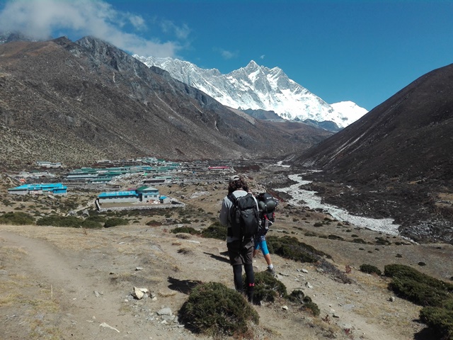
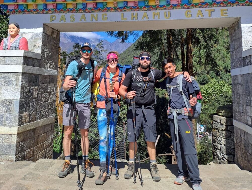
Lukla is not just the starting village; it is a trekker’s gateway. The trail from Lukla to Phakding may be short in terms of distance (~8 km), but it introduces you to the unique trekking environment of the Khumbu region. The path is mostly downhill, following the Dudh Koshi River, with several suspension bridges crossing gorges. For most trekkers, this first day is a warm-up, but the short distance doesn’t guarantee an easy walk — trekking at 2,860 m already begins to challenge your lungs.
Tips Related to Distance:
Distance: 10–12 km
Elevation gain: ~830 m
Walking time: 5–7 hours
This segment is the first significant uphill portion of the trek. The trail meanders along the river and climbs through small Sherpa villages and pine forests. Though the distance is just 10–12 km, the cumulative vertical gain makes it one of the hardest first-day sections. Trekkers often stop to cross suspension bridges and admire river valleys, which naturally increases walking time.
Distance Insights:
Distance: ~10 km
Elevation gain: ~420 m
Walking time: 5–6 hours
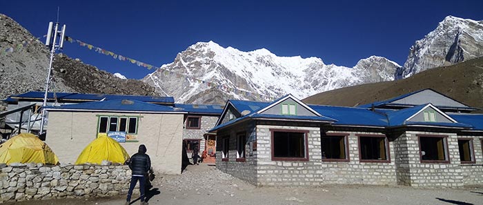
From Namche, the trail becomes more exposed, with fewer trees and wider valleys. The distance of 10 km to Tengboche might seem modest on a map, but trekkers at 3,440–3,860 m notice every step. This section also gives you spectacular mountain vistas, which naturally slows walking pace as trekkers pause for photos.
Distance Perspective:
Distance: ~11 km
Elevation gain: ~550 m
Walking time: 5–6 hours
This part of the trek introduces high-alpine terrain. The distance increases slightly, and the path rises steadily. Vegetation diminishes, leaving open valleys, rocky slopes, and occasional glacial streams. The combination of moderate distance and high elevation gain makes this a key segment to gauge your pacing.
Distance Insights:
Distance: ~11 km
Elevation gain: ~530 m
Walking time: 5–6 hours
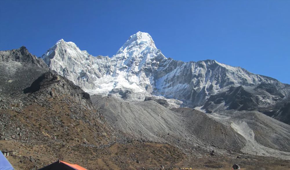
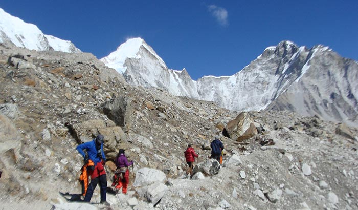
From Dingboche, trekkers encounter stark glacial landscapes. Despite the distance being similar to previous days, altitude now exceeds 4,400 m, making every kilometer more demanding. Many trekking guides recommend walking slowly to minimize altitude-related fatigue.
Distance Perspective:
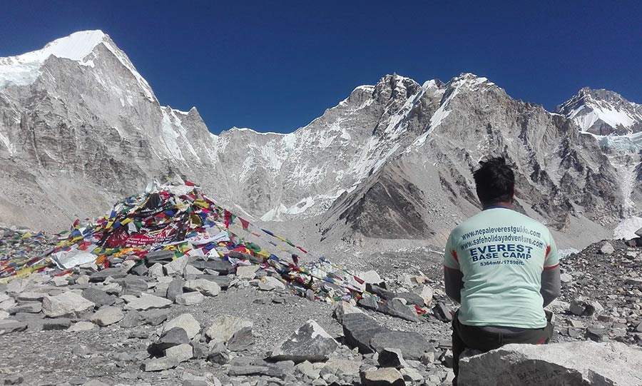
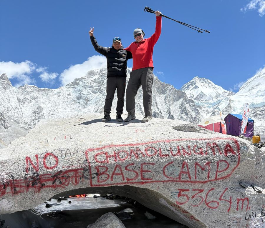
Distance: Lobuche → Gorak Shep ~4 km; Gorak Shep → Base Camp ~3–4 km (one way)
Elevation gain: Lobuche → Gorak Shep +220 m; Gorak Shep → Base Camp +200 m
Walking time: 6–7 hours round trip
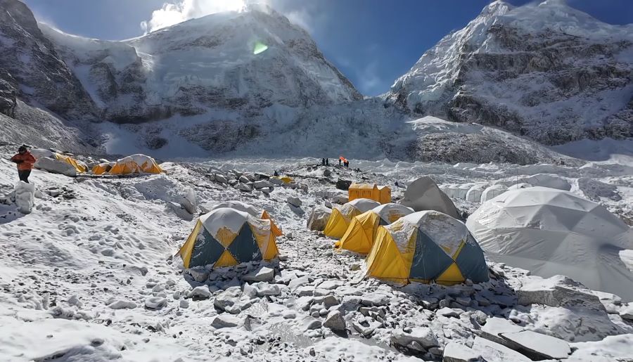
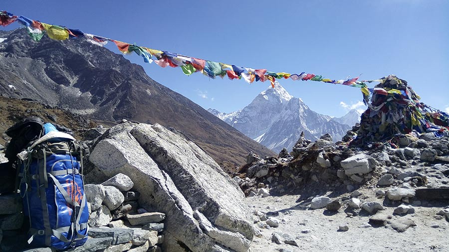
This final segment is short in distance — ~7–8 km total from Lobuche to Base Camp — but represents the most challenging kilometers of the trek. Terrain includes moraine paths, glacial rocks, and icy patches. Many trekkers include Kala Patthar (+3 km round trip, +180 m) for panoramic Everest views.
Distance Insights:
The return journey covers roughly the same horizontal distance as the ascent but generally takes less time due to downhill walking.
Typical return distances:
Cumulative distance: Round trip ~130 km
Distance Perspective:
| From → To | Distance (km) | Cumulative Distance (km) | Elevation Gain / Loss (m) |
|---|---|---|---|
| Lukla → Phakding | 8 | 8 | -250 |
| Phakding → Namche Bazaar | 11 | 19 | +830 |
| Namche Bazaar → Tengboche | 10 | 29 | +420 |
| Tengboche → Dingboche | 11 | 40 | +550 |
| Dingboche → Lobuche | 11 | 51 | +530 |
| Lobuche → Gorak Shep | 4 | 55 | +220 |
| Gorak Shep → Everest Base Camp | 4 | 59 | +200 |
Key Points:
A key point about the EBC trek is that distance alone doesn’t measure difficulty. Each kilometer should be considered in terms of:
Example: The 4 km from Gorak Shep → Base Camp might seem easy, but the effort can equal a 12 km low-altitude walk due to terrain and oxygen scarcity.
For 2026 trekkers, understanding distance in relation to elevation and altitude is critical. Planning based solely on kilometers can result in overexertion or altitude sickness.
The Everest Base Camp Trek Distance Guide for 2026 highlights that while the trek is 65 km one way, distance is only part of the story. Each kilometer is influenced by elevation gain, terrain, and altitude, making short distances feel much longer. Careful planning, understanding village-to-village distances, and pacing yourself is crucial for a safe and enjoyable trek.
By focusing on actual distances, cumulative distances, and practical effort, trekkers can estimate walking times, plan acclimatization, and manage energy. Whether ascending from Lukla or descending from Gorak Shep, distance awareness ensures that your 2026 trek is challenging yet manageable — and ultimately, one of the most rewarding trekking experiences on Earth.


If you’re planning the Gokyo Trek in 2026, one of the most important steps before you even set foo
Continue Reading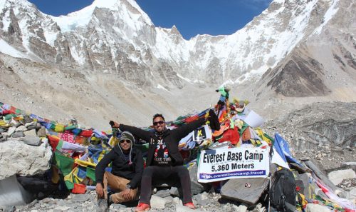
Trekking in Nepal’s Everest region is a dream for many travelers, and two of the most popular rout
Continue Reading
If you are planning a trek to the Everest region ( Everest Base Camp, Gokyo Valley, Everest 3 passes
Continue Reading Trekking to Annapurna Base Camp (ABC) is one of the most rewarding adventures in Nepal. In just four
Continue Reading
Introduction The Mount Everest climbing season 2026 has started with a slight delay, drawing attenti
Continue Reading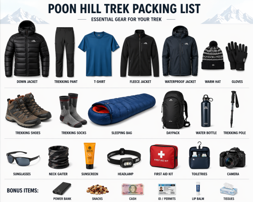
The Poon Hill Trek Packing List is a simple and useful guide for anyone planning this popular trek i
Continue Reading